
A 2026 Guide to Grindavík, Iceland
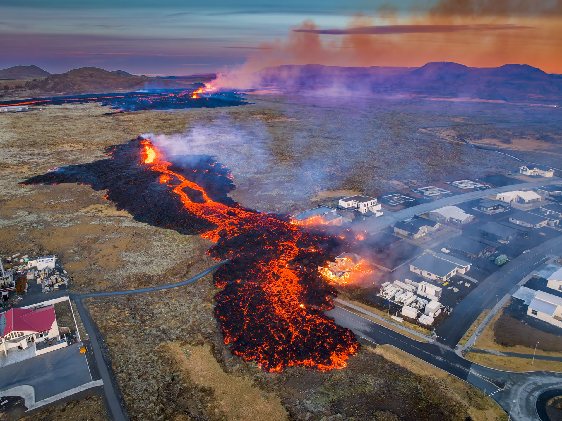
For visitors, Grindavík, Iceland, can feel surreal. This fishing town on the Reykjanes Peninsula has long been shaped by the sea, lava fields, and the ever-moving Mid-Atlantic Ridge. In recent years, it has also been reshaped by volcanic activity near Svartsengi and the Sundhnúkur crater row.
Today, Grindavík is not a traditional sightseeing town. In places, cracked ground, lava barriers, and fresh lava fields are reminders of an active geological event affecting a real community. This guide explores the town’s cultural and geological history and what travellers need to know before visiting in 2026.
Where Is Grindavík, Iceland?
Grindavík is located on the rugged southern coast of the Reykjanes Peninsula, SW Iceland, comfortably close to Keflavík International Airport. It is also only about a 45-minute drive from the capital city of Reykjavík. The town also sits near the Svartsengi geothermal area and the Blue Lagoon. For many travellers, Grindavík is a familiar landmark when exploring Southwest Iceland.
The surrounding landscape features vast, moss-covered lava field formations, striking coastal roads, and a network of active volcanic systems. To understand Grindavík, it helps to look at the wider Reykjanes Peninsula. This region lies along the Mid-Atlantic Ridge, where the North American and Eurasian tectonic plates slowly pull apart. As the crust stretches, earthquakes, geothermal activity, lava fields, and volcanic systems shape the landscape.
History of Grindavík
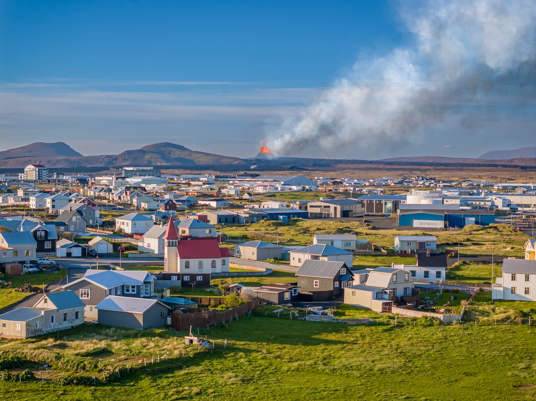
Grindavík is a small fishing community with access to rich North Atlantic fishing grounds. For centuries, the fishing industry has been a central part of local identity and the backbone of the town’s economy. Daily life traditionally centred on the harbour, maritime culture, and the production of high-quality saltfish. Over time, the sea helped establish Grindavík as one of Iceland’s important seafood towns.
Since November 2023, Grindavík has also become closely associated with eruptions. Volcanic activity near Svartsengi and the Sundhnúkur crater row has brought international attention to the area.
Before the recent volcanic unrest, Grindavík was a bustling fishing town of around 3,800 to 4,000 people. When seismic activity intensified, the full town evacuation displaced thousands of residents almost overnight. Today, the population picture is more complex. Some residents and businesses have returned when conditions allow, while others remain displaced.
As conditions can change, travellers should follow the latest updates on the Reykjanes eruptions before planning a visit.
Grindavík Eruptions
The landscape changed in November 2023, when seismic activity and underground magma movement forced the town's evacuation. Roads cracked, the ground shifted, and fissures opened in and around the area, damaging buildings, streets, and utility lines across the area.
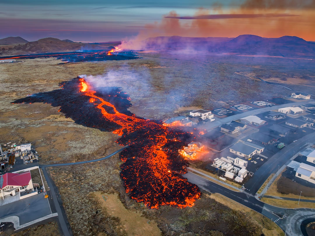
In January 2024, new fissures opened near Grindavík, and lava from one fissure reached the town area, destroying several homes. Another eruption followed in February 2024, with more events in 2024 and 2025 along the Sundhnúkur crater row. The effects have included damaged buildings, cracked ground, disrupted roads, protective lava barriers, and temporary closures.
Nine eruptions have already occurred during the eruptive sequence, all originating near the magma dike formed in November 2023. Each eruption began as a fissure eruption along long vents, peaking after a few hours before subsiding; they either ceased completely or became localised to a few vents that continued to erupt at a lower rate for days or weeks.
For travellers, this makes Grindavík very different from a normal coastal stop. The fresh lava, ground cracks, and protective barriers can be striking to see, but they are also reminders of real disruption. Visitors should never enter restricted areas, step onto fresh lava, or treat damaged neighbourhoods as photo opportunities.
Why This Area Is So Active
The Grindavík area is especially active because it sits on the Reykjanes Peninsula, where the Mid-Atlantic Ridge comes ashore. Here, the North American and Eurasian tectonic plates slowly pull apart, stretching and fracturing the crust. Around Grindavík, Iceland, this movement is expressed through volcanic systems, fissure swarms, earthquakes, geothermal areas, and lava fields.
In the Svartsengi and Sundhnúkur area north of Grindavík, magma can move through the crust’s weaknesses and rise toward the surface. When pressure builds, fissures may open and release lava, as seen during the recent Grindavík eruptions.
That is why the recent events were fissure eruptions rather than eruptions from a single cone-shaped mountain. Instead of one central volcano eruption, magma rose through ground cracks, creating openings that released lava onto the surface. Many active volcanoes in Iceland are connected to fissure systems.
To better understand the forces behind these Grindavík eruptions, visit Perlan’s new immersive Volcano Show. This exhibit uses high-definition footage, dramatic visuals, and cinematic sound to bring Iceland’s volcanic nature to life.
What to See in Grindavík
As environmental conditions can shift rapidly, travellers should always check official safety updates, road conditions, and access restrictions before visiting. When the area is open and conditions allow, Grindavík and its surroundings offer a memorable mix of activities.
Explore the Harbour Area
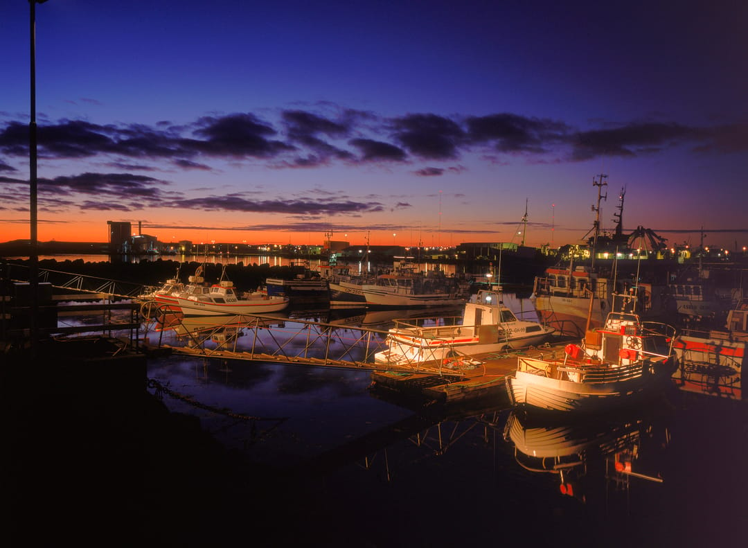
The harbour has long been the heart of Grindavík, Iceland. Looking over the ocean, visitors can get a sense of the town’s deep connection to the sea and fishing heritage. The working harbour, coastal views, and volcanic ridges create a striking reminder of the relationship between daily life and geology.
Visit Kvikan and the Saltfish Museum
For a deeper look at local heritage, visit Kvikan, Grindavík’s cultural house, which is home to the Saltfish Museum. The museum focuses on salted cod and the fishing industry. Here, visitors can discover how fish preservation, trade, and maritime work shaped coastal Icelandic communities like Grindavík.
See Hópsnesviti Lighthouse and the Hópsnes Peninsula
Just outside Grindavík, Hópsnesviti Lighthouse stands on a rugged coastal point surrounded by lava and sea views. The Hópsnes area is also known for old shipwreck remains and dramatic coastal scenery. Visitors should stay on marked routes and avoid unstable ground, especially after storms or during periods of volcanic unrest.
See the Lava-Scarred Landscape From Safe Viewpoints
The new lava fields around the Grindavík area are a modern geological marvel. However, visitors should never hike on fresh lava or enter restricted areas. Recently formed lava can remain unstable and dangerous long after an eruption has ended. Instead, travellers should appreciate the scale of the Sundhnúkur and Fagradalsfjall volcanic systems from designated viewpoints.
Visit the Blue Lagoon Nearby
The world-famous Blue Lagoon is just a few minutes north of Grindavík within the Svartsengi geothermal area. It sits close to the recent eruption zone, so access fluctuates based on safety conditions, road access, and hazard assessments. Travellers should always check the Blue Lagoon’s current opening status before visiting.
How to Get to Grindavík
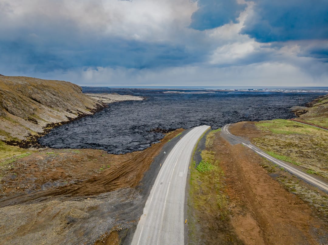
In standard conditions, Grindavík is easily reached via well-paved roads connecting from Reykjavík, Keflavík International Airport, and the Blue Lagoon area. However, because the town sits inside an active volcanic zone, infrastructure can experience temporary disruptions. Visitors should habitually check SafeTravel.is and local road condition maps before setting out.
Can You Visit Grindavík?
Access to Grindavík has resumed when authorities deem conditions safe, but there’s no blanket guarantee of safety at any given moment. Conditions on the Reykjanes Peninsula remain dynamic. Potential hazards in the area can include ground fissures, unstable new lava, gas pollution, sudden earthquakes, and temporary road closures.
If you see international headlines about a volcano in Iceland about to erupt, look to official Icelandic sources first. Local civil protection teams, scientists, and emergency responders monitor the area closely, and warnings are highly location-specific. Check official hazard maps and travel guidance from SafeTravel, the Icelandic Met Office, and local authorities.
Nearby Attractions
- Blue Lagoon: The famous geothermal spa fed by mineral-rich water, open depending on real-time hazard ratings.
- Reykjanes Geopark: A UNESCO-recognised site encompassing vast lava fields, dramatic sea cliffs, steaming mud pools, and bridges over the continental rift.
- Fagradalsfjall and Sundhnúkur Area: Historic sites of the recent eruption sequences; views are best appreciated from designated, authorised vantage points.
- Brimketill Lava Rock Pool: A stunning natural rock cauldron carved by breaking waves, safe to view from a secure platform.
- Gunnuhver and Reykjanesviti: Iceland’s oldest lighthouse, standing alongside a highly active, roaring geothermal field filled with boiling mud pots
FAQs
Yes, localised access has been restored when conditions permit, but specific areas remain restricted. Always double-check real-time local updates before attempting to drive into the town.
Yes, they are immediate neighbours. The Blue Lagoon rests within the Svartsengi volcanic system, just a few minutes north of the main town site.
An unprecedented escalation of seismic activity and a major underground magma intrusion caused widespread fracturing across the town. It resulted in a mandatory precautionary evacuation of all residents.
Yes, during the eruption in January 2024, volcanic fissures opened on the northern edge of the town. It allowed a lava flow to cross protective barriers and damage several homes.
No, fresh lava fields are fragile, chemically unstable, and incredibly hot underneath. Walking on them is dangerous and strictly prohibited by local authorities.
Grindavík is important because it brings together Iceland’s fishing heritage, geothermal energy, coastal landscapes, and active geology. Few places show the connection between daily life, tectonic movement, and volcanic activity as clearly as this town.
Popular articles
The Complete Guide to the Northern Lights in Iceland
Learn how the Northern Lights form, where to see them in Iceland, how to prepare, take photos, read the forecast, and improve your chances of a sighting.
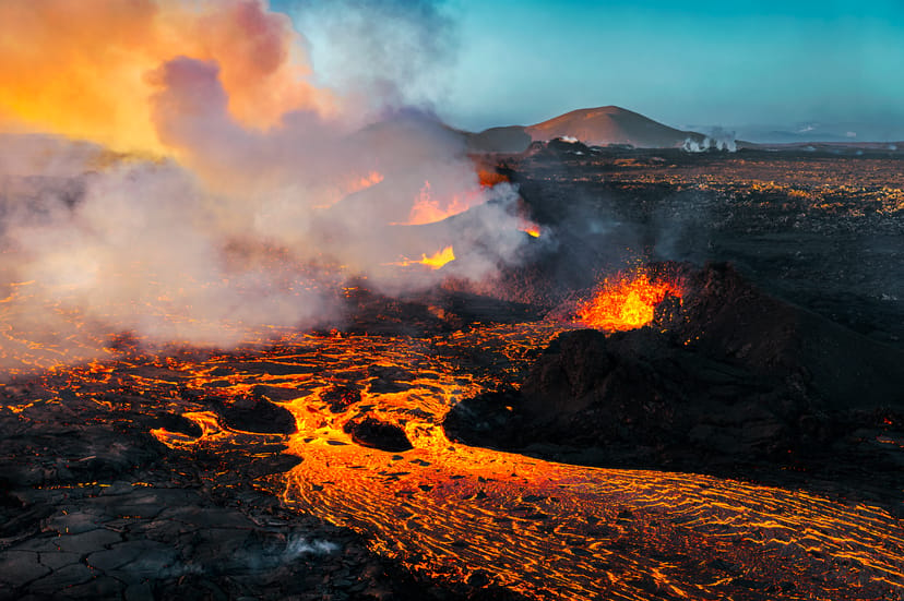
Let's Talk About the Volcano in Iceland About to Erupt
Is a volcano in Iceland about to erupt? Here’s what travelers should know about Svartsengi, Reykjanes activity, flights, safety, and the Blue Lagoon.
Solar Eclipse 2026 in Iceland | What Happened
Iceland experienced a total solar eclipse on August 12, 2026. Discover what happened in Reykjavík, eclipse times, totality locations and more.
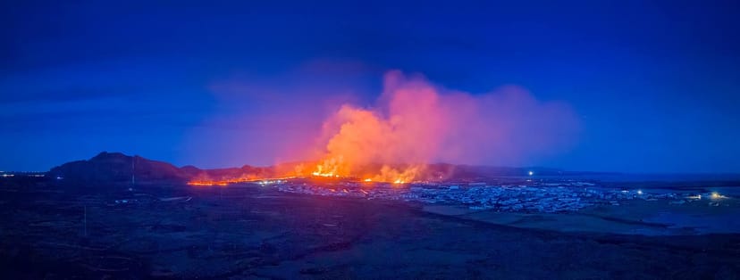
September 2026 updates on the Sundhnúkagígar Eruption in the Reykjanes Peninsula!
The current eruption in the Reykjanes Peninsula, is called Sundhnúkagígar Crater Row. See insights on the seismic activity and volcanic eruptions in the area!
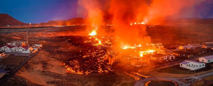
Active Volcanoes in Iceland 2026
Active volcanoes aren't the same thing as active eruptions. A volcano can be considered active even when it is not ejecting ash, rock, gases and magma, so which are active in Iceland in 2026?
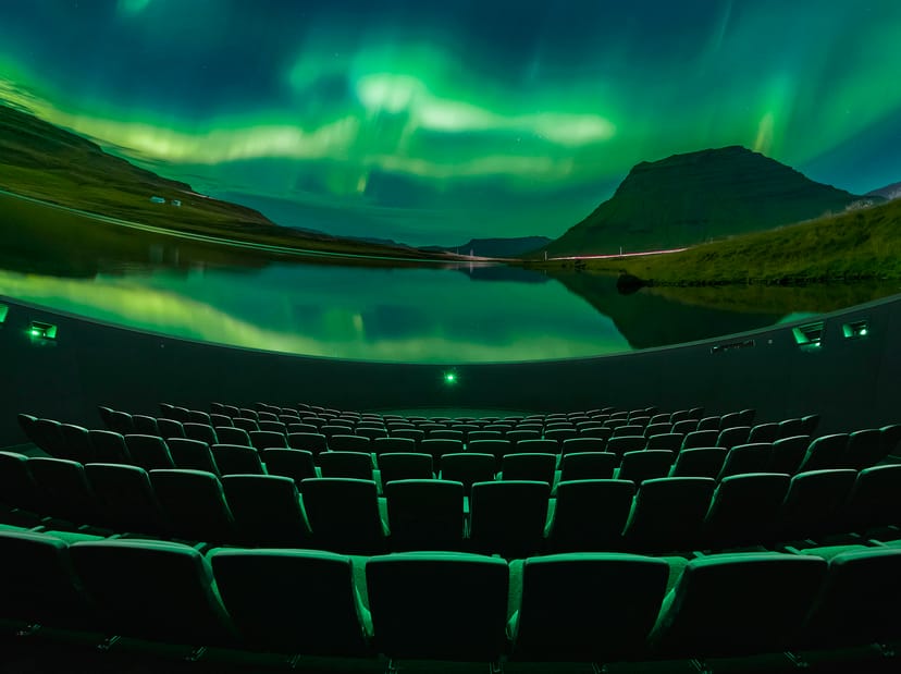
Top 10 Places To See the Northern Lights in Iceland
Discover the best places to see the Northern Lights in Iceland, from Jökulsárlón and Kirkjufell to Reykjavík, Þingvellir and North Iceland.
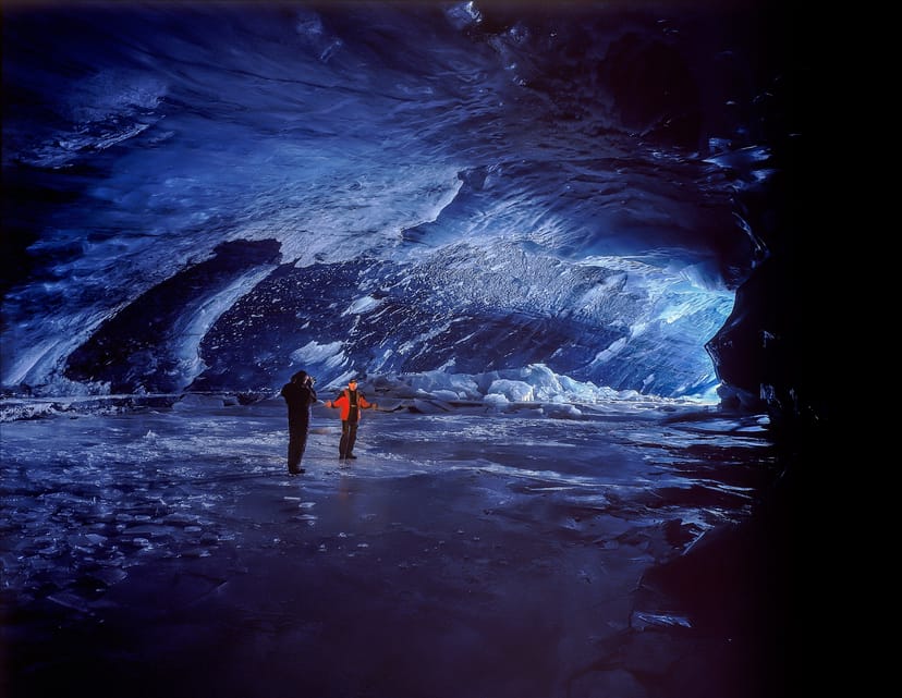
Ice Caves From Reykjavik
Planning an ice cave trip from Reykjavik? Compare Katla, Langjökull and Vatnajökull, travel times, seasons and Perlan’s ice cave in the city.