
The Top 7 Biggest Earthquakes in Iceland
Iceland is located in a tectonically active zone, meaning tremors are part and parcel of everyday life. Like other places worldwide, seismologists constantly monitor Iceland's earthquake activity through various methods.
One such method is the Mercalli scale, which relies on visual evidence to assess the amount and significance of damage resulting from seismic events. This scale considers the effects of earthquakes on structures and the environment.
However, that method is a little hit-and-miss if you remember that human activity plays an important role. The impact of an earthquake will be affected by factors such as quake-proofing techniques in construction and the level of education and earthquake preparedness in the local population.
As a more accurate alternative, the Richter Scale was developed in the 1930s by Charles Richter. This logarithmic scale classifies earthquakes by their magnitude, meaning that a one-point increase on the scale represents a 10x increase in the earthquake's power. This method uses specific scientific measurements rather than observations and has been widely adopted.
When you read reports about earthquakes, this is the figure to which those articles refer. Though technically, there's no top of the scale, the largest event ever recorded is a 9.5 magnitude quake that struck Chile in 1960.
Other near-record-breaking earthquakes include the 9.2 that hit Alaska in 1964, the 9.1 that triggered the catastrophic tsunami in 2004 and the 9.0 that devastated Japan in 2011. So all of these, as we shall see, are significantly greater than the largest ever to have occurred in Iceland.
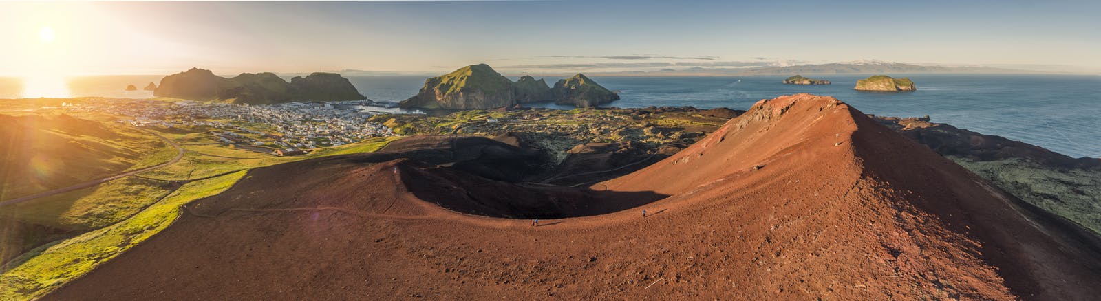
The largest earthquakes in Iceland group in two regions. Firstly in central South Iceland, this is the so-called South Iceland Seismic Zone. Secondly, off the northern shore, this is the Tjörnes Fracture Zone.
1784
The largest documented earthquake to strike Iceland occurred in the South Iceland Seismic Zone (SISZ) around the time of the massive Laki volcanic eruption in 1784.
The Laki eruption was one of the most devastating volcanic events in Iceland's history, causing significant environmental and climatic consequences, such as a huge and destructive lava flow and decrease in global temperatures due to the release of massive amounts of sulfur dioxide into the atmosphere.
The 1784 earthquake is estimated to be the biggest earthquake in Iceland and would have been a 7.1 on the Richter Scale had that system of measurements been invented back then. A slightly smaller 6.9 aftershock struck two days later.
1755
A large earthquake occurred off the central north coast in the summer of 1755. Its magnitude has been estimated close to 7.0. It was felt in all of Northern Iceland, causing landslides and rockfall in mountain slopes and sea cliffs, and damage of houses but no human injuries.
1896
In 1896, over a span of two weeks, a series of five significant earthquakes hit a relatively small area of South Iceland, located within about 50 km of each other. They have since been estimated at 6.9, 6.7, 6.0, 6.5 and 6.0 on the Richter Scale.
The proximity and timing of these earthquakes suggest that they were related and possibly triggered by a shared tectonic mechanism.
The 1896 earthquake series would have likely caused damage to buildings and infrastructure in the affected area. However, due to the sparsely populated nature of Iceland at the time, the human impact may have been less severe compared to more densely populated regions. Unfortunately, detailed accounts of the damage and consequences of these earthquakes are limited, as they occurred before the widespread use of modern seismological techniques.
1912
Another earthquake of the same size hit South Iceland in 1912. Its magnitude is considered to have been up to 7.0 on the Richter scale. Seismic meters were recently invented at this time but no one was located in Iceland. However, the quake was detected on the mainland and therefore became the first scientifically measured earthquake in Iceland. It was an example of a strike-shift quake, which occurs when pressure builds up on a plate boundary and then releases, forcing the rocks to jolt in a parallel movement.
This event serves as a reminder of the significant seismic hazard posed by the tectonically active region of South Iceland.
1963
The great Skagafjordur earthquake hit North Iceland in 1963. It was a 6.9-7.0 magnitude quake and occurred inside the Tjörnes fracture zone off the north coast, WNW of Siglufjordur. It was felt all over north Iceland and caused some damage in Skagafjördur but no injuries.
2000
In the year 2000, on June 17th, Iceland's National Day, a quake struck south Iceland.
The Icelandic authorities estimated it as a 6.4 on the Richter Scale, though the US Geological Survey recorded it as a 6.6.
This 2000 earthquake had a relatively shallow depth of 6.3 kilometres below the surface, causing some damage. The quake centred on the Westman Islands in southern Iceland, though it was also felt in Reykjavik. Three people suffered minor injuries. A second quake (of a similar magnitude) happened four days later.
2008
More recently, a 6.5 magnitude earthquake (some reports estimate it as a 6.3) struck in 2008, once again in the South Iceland Seismic Zone (SISZ).
The quake's epicentre was very close to the South Iceland town of Hveragerði. The town's visitor centre has an interesting display of photographs and information that recounts the event and provides an opportunity to learn about the earthquake's impact and experience a simulation of what it might have felt like.
Experience the Force of an Earthquake in Iceland
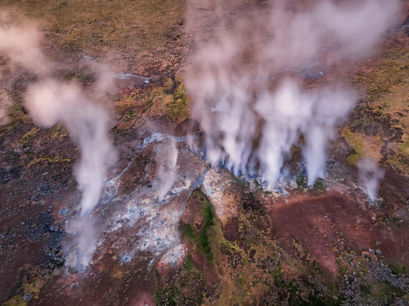
For those interested in learning more about earthquakes, tectonic activity, and the geological forces that have shaped Iceland's landscape, a visit to Perlan in Reykjavik is highly recommended. Recently, there has been a resurgence of seismic activity on the Reykjanes Peninsula.
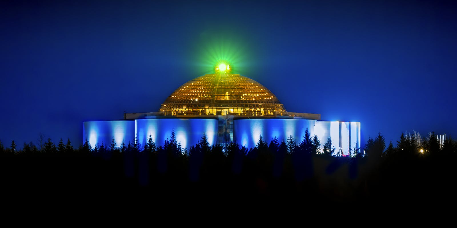
The Forces of Nature exhibit offers insight into the causes of earthquakes, volcanic eruptions, and geothermal activity that characterise the country. By exploring this exhibit, visitors can better understand the powerful processes that have shaped Iceland's unique environment.
Popular articles
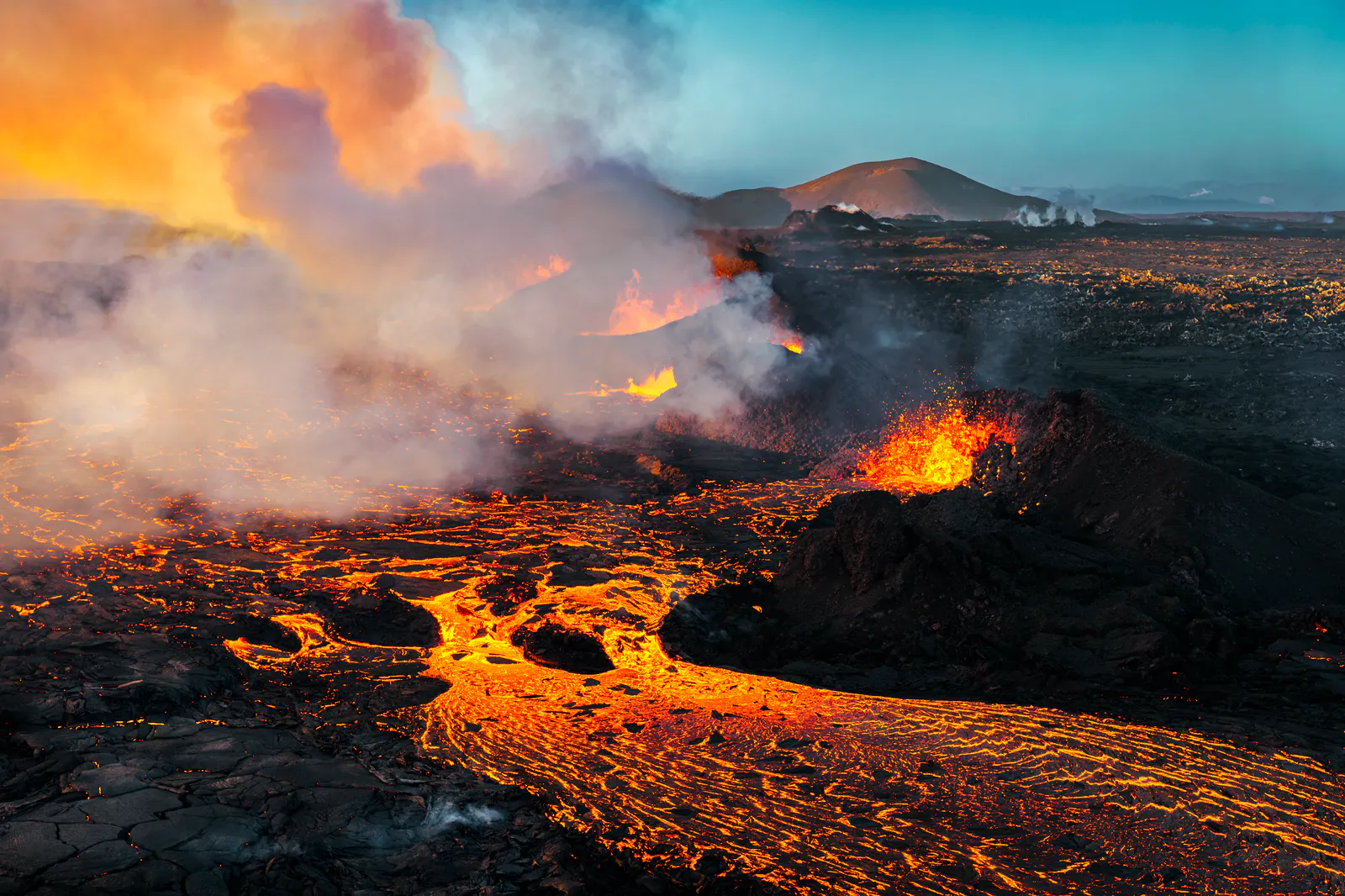
Let's Talk About the Volcano in Iceland About to Erupt
Is a volcano in Iceland about to erupt? Here’s what travelers should know about Svartsengi, Reykjanes activity, flights, safety, and the Blue Lagoon.
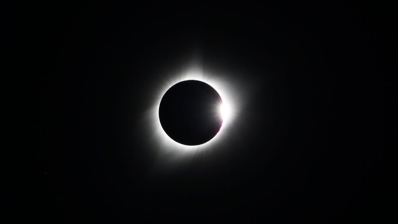
Guide to the Solar Eclipse 2026
Plan your trip to witness the Solar Eclipse 2026 in Iceland! Discover the best viewing spots, key times, safety tips, and travel advice for this rare celestial event.

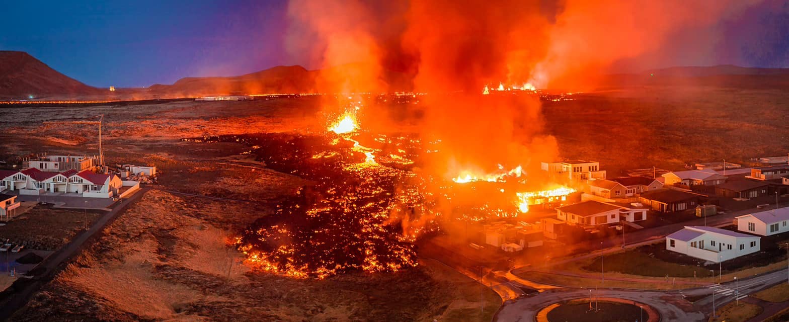
July 2026 updates on the Sundhnúkagígar Eruption in the Reykjanes Peninsula!
The current eruption in the Reykjanes Peninsula, is called Sundhnúkagígar Crater Row. See insights on the seismic activity and volcanic eruptions in the area!
Active Volcanoes in Iceland 2026
Active volcanoes aren't the same thing as active eruptions. A volcano can be considered active even when it is not ejecting ash, rock, gases and magma, so which are active in Iceland in 2026?

Top 10 Places To See the Northern Lights in Iceland
You can see the northern lights across the country, but some spots are more suitable than others. Find the best place to see the northern lights in Iceland.

Ice Caves From Reykjavik
Travel beyond the capital for a closer look at an ice cave under one of Iceland’s glaciers. If you can’t spare the time, experience Perlan’s ice cave in Reykjavik.