Guide to Aldeyjarfoss Waterfall in Iceland
Aldeyjarfoss is a waterfall located in the northern part of Iceland, near the Sprengisandur highland road. It is situated in the Skjálfandafljót river, known for its powerful and scenic waterfalls. Besides Aldeyjarfoss, Skjálfandafljót River holds the well-known waterfalls Hrafnabjargafoss and Goðafoss. The Skjálfandafljót River is the fourth longest river in Iceland, spanning a total of 178 kilometres (111 miles). It is a glacier river sourced from the largest glacier in Europe: Vatnajökull.
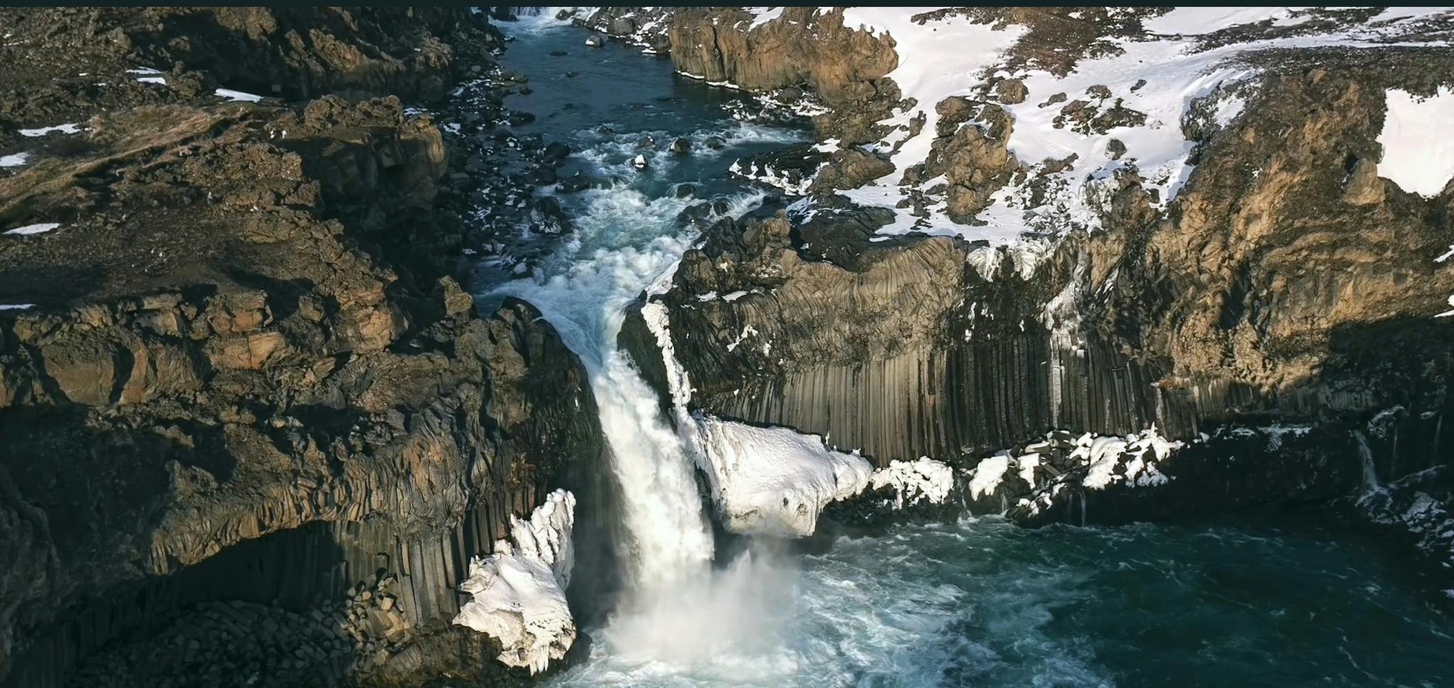
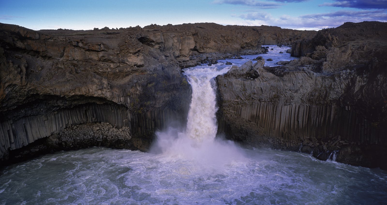
Aldeyjarfoss is distinctive in the contrast between the black basalt columns surrounding the waterfall and the white water cascading over it. The basalt columns are hexagonal in shape, creating a visually striking and geometrically exciting backdrop for the waterfall. This geological formation is a result of the cooling and contracting of lava.
Geological Features of Aldeyjarfoss
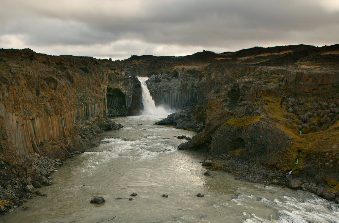
Aldeyjarfoss, with a height of 22 metres (72 feet), gracefully descends into a captivating blue lagoon. Its renowned allure lies in the surrounding geological marvels. Flanking the waterfall on either side are rows of impeccably formed hexagonal basalt columns, a feature scarce in global landscapes.
The symmetry of these columns, resembling meticulous hand-carving, finds its explanation in physics. Centuries ago, lava flowed down the cliffs at Aldeyjarfoss during a volcanic eruption that took place in the central Highlands near Vatnajölkull. As the lava flow cooled and solidified, the columnar jointing took place. This process occurs when molten lava solidifies and contracts as it cools and forms hexagonal columns.
Similar basalt formations grace other locations in Iceland, such as the Gerðuberg cliffs on the Snæfellsnes Peninsula and the cliffs in the village of Hofsós. However, the only other easily accessible waterfall featuring these columns is Svartifoss in the Skaftafell Nature Reserve in the southeastern part of the country.
Notably, Aldeyjarfoss boasts a more diverse colour palette for its columns compared to its black counterparts at Svartifoss. Yellow and red hues, attributed to sulphur and iron brought up during the eruption, enrich the visual tapestry of these geological wonders.
Glaciers, Rivers and Waterfalls
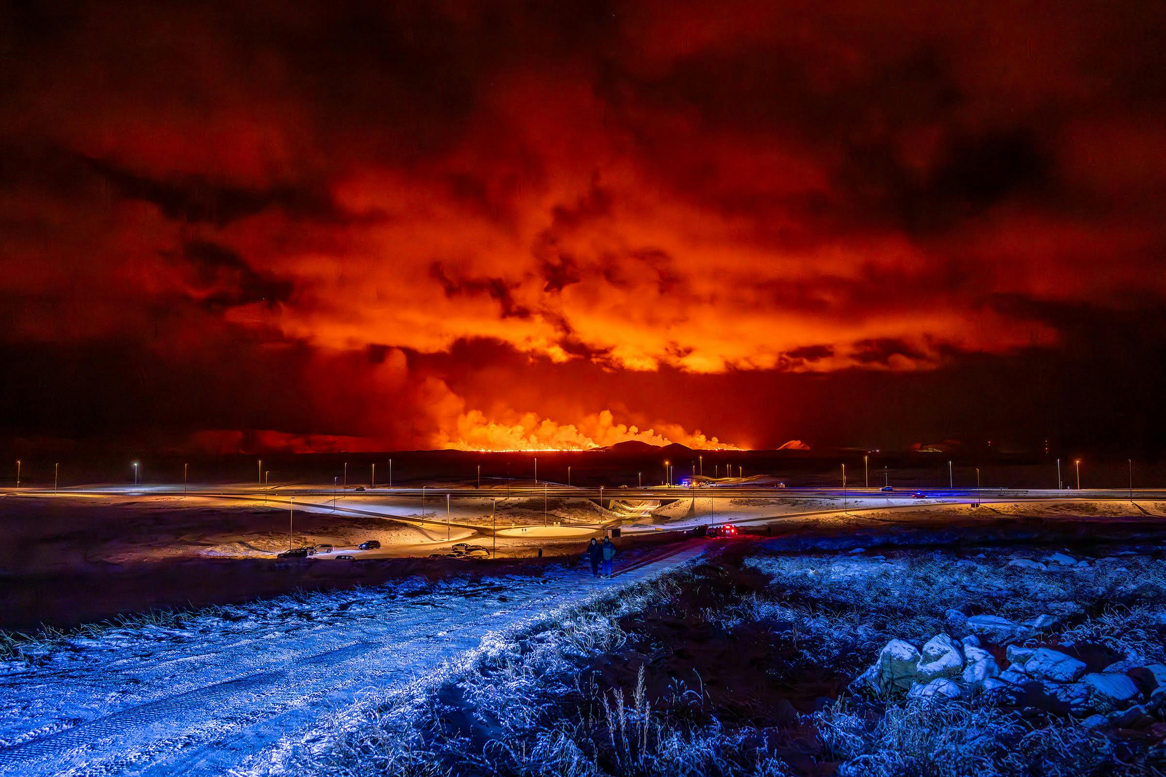
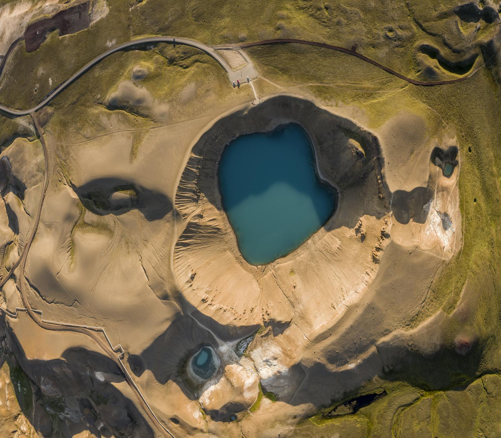
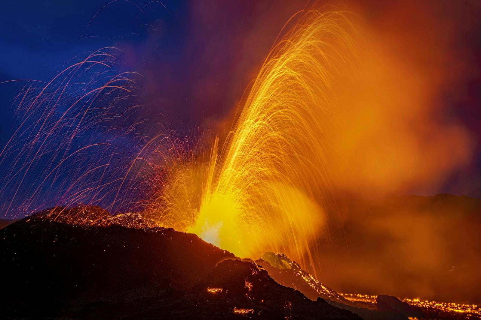
Iceland is known for being the country of fire and ice. The island has been formed and is constantly changing due to active volcanoes and glaciers melting. Aldeyjarfoss is a result of the interaction between lava and the glacier river. Visit the Perlan Museum in Reykjavík and learn more about the forces of nature. The Glacier interactive exhibition provides insight into Icelandic glaciers, their bleak future, and the effects of climate change.
How To Get to Aldeyjarfoss
Getting to Aldeyjarfoss involves navigating through Iceland's scenic landscapes, and the journey may require some off-road driving, depending on your approach. Located about 40 kilometres off the Ring Road in Iceland and from Goðafoss, Aldeyjarfoss can be a short detour off of your regular Diamond Circle sightseeing route.
Reykjavík to Aldeyjarfoss
The total travel time from Reykjavík to Aldeyjarfoss can vary depending on road conditions. A typical journey would take about 6 hours with no stops. However, note that you will be driving through an adventure of scenery and that you might want to make several stops during this trip. The distance from Reykjavík to Aldeyjarfoss is 462 kilometres (287 miles).
- The most common route is to take the Ring Road (Route 1) northward from Reykjavík.
- Follow the Ring Road until you reach Akureyri, the largest town in northern Iceland. Depending on road and weather conditions, this journey takes approximately 4-5 hours.
- From Akureyri, continue east on Route 1 until you reach the town of Húsavík.
- From Húsavík, you can head west on Route 85, which leads to the Sprengisandur highland road.
- The Sprengisandur Highland Road (F26) is a gravel road that provides access to Aldeyjarfoss. The road conditions can be challenging, and it's recommended to use a 4x4 vehicle, especially for the F26 portion.
- After about 42 kilometres (26 miles) on F26, you will reach the parking area for Aldeyjarfoss.
Akureyri to Aldeyjarfoss
The total travel time from Akureyri to Aldeyjarfoss can vary depending on road conditions. A journey under normal conditions would take somewhere between 1 hour and 1.5 hours. Note that this trip is advised to be taken only with a 4x4 vehicle, as the last part of the way is off-road.
- Head east from Akureyri on Route 1 until you reach the town of Húsavík.
- From Húsavík, head west on Route 85, getting you to the Sprengisandur highland road (F26).
- Continue on F26 for 42 kilometres (26 miles), and you will reach your destination: Aldeyjarfoss parking area.
Aldeyjarfoss Waterfall FAQ
How To Get to Aldeyjarfoss Waterfall?
It is recommended to take the trip to Aldeyjarfoss only in a 4x4 car, as there is some off-road driving. For a guide to Aldeyjarfoss, please see our guide further up on the page.
Where is Aldeyjarfoss Located?
Aldeyjarfoss is located in the northern part of Iceland, in the Skjálfandafljót River near the Sprengisandur highland road. The coordinates for the waterfall are approximately 65.7257° N latitude and 17.5449° W longitude.
How Tall is The Aldeyjarfoss?
Aldeyjarfoss stands at a height of twenty metres (66 feet). The waterfall descends into a beautiful blue lagoon, surrounded by unique geological features, including rows of hexagonal basalt columns on either side.
Popular articles
Reykjanes Volcanoes Overview
Enjoy a complete overview of the Reykjanes Volcanoes from 2021-2024. Learn about its geology, recent activity, and visitor tips for a safe, memorable experience.

Reykjanes Peninsula Volcanoes: Sundhnúksgígar Eruptions
The anticipated volcano has erupted in the Reykjanes Peninsula, the site is being called Sundhnúkagígar. See the historic insights on the seismic activity and volcanic eruptions.
Earthquakes in Iceland
Earthquakes in Iceland are a fact of life. Each year, hundreds of small tremors shake the earth, a reminder of the country’s position on a tectonic plate boundary.
Volcano Museums and Exhibitions in Iceland
If you don't manage to visit an actively erupting volcano in Iceland - Experience its force at one of these excellent volcano museums and exhibitions in Iceland.

Top 10 Places To See the Northern Lights in Iceland
You can see the northern lights across the country, but some spots are more suitable than others. Find the best place to see the northern lights in Iceland.

Ice Caves From Reykjavik
Travel beyond the capital for a closer look at an ice cave under one of Iceland’s glaciers. If you can’t spare the time, experience Perlan’s ice cave in Reykjavik.